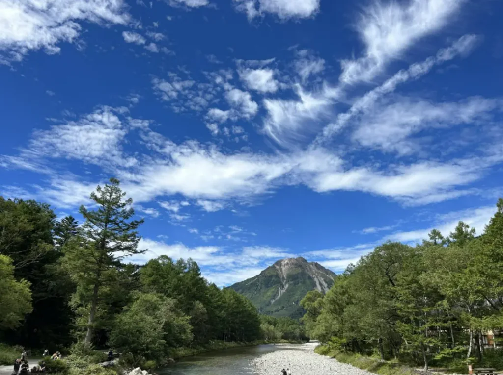
河童橋(Kappa Bridge)
Kappa Bridge is the best-known meeting point in Kamikochi: a pedestrian suspension bridge over the clear Azusa River, with the Hotaka range and Mount Yakedake framing the valley. It is not a ticketed attraction, but a landmark on the walking network and the natural centre of the resort area. The bri
Información sobre 河童橋(Kappa Bridge)
Kappa Bridge is the best-known meeting point in Kamikochi: a pedestrian suspension bridge over the clear Azusa River, with the Hotaka range and Mount Yakedake framing the valley. It is not a ticketed attraction, but a landmark on the walking network and the natural centre of the resort area. The bridge’s name also belongs to Japanese folklore; novelist Ryunosuke Akutagawa later used the area and its name for his 1927 satire Kappa, adding a literary echo to a place first known for mountain travel and scenery.
From the bridge, the short walk to the bus terminal takes about six minutes; paths continue south towards Tashiro Pond and Taisho Pond and north towards Myojin. The official Kamikochi route estimates 3.8–4 kilometres and around 75–80 minutes each way between Kappa Bridge and Taisho Pond, with mostly level paths suitable for many ordinary walkers. This is a protected highland environment, not a city promenade: weather can shift, temperatures drop, and buses stop running in the late afternoon. Plan the return leg before setting out.
Public visitors particularly value the river colour, mountain backdrop and easy access from the bus terminal; the same accessibility makes the bridge one of the valley’s busiest points. Reviews mention crowded photo spots in the middle of the day and a much calmer atmosphere early or late, especially for people staying overnight. The bridge is useful as a starting landmark, but the walk gains quiet and variety once it leaves the busiest cluster of cafés and shops. A short extension to Weston Monument or Tashiro area changes the view without requiring a strenuous mountain hike.
Private cars cannot enter Kamikochi; visitors arrive by bus or taxi from designated access points, or on foot from within the valley. From Matsumoto, the usual public route is the Alpico train to Shin-Shimashima and a reserved bus onward; the direct bus runs only twice from Matsumoto on the listed 2026 schedule and normally fills. Check the official transport table, reserve the return seat and allow enough time to reach the final bus.
Puente peatonal panorámico sobre el río Azusa
Fotos