Dronegenuity
Aerial photography and drone-services network for property, construction, inspections, mapping and 3D modelling, with a separate pilot-training contact.
About Dronegenuity
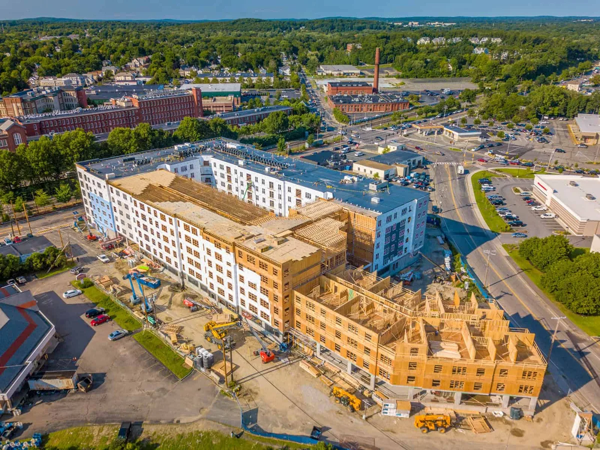
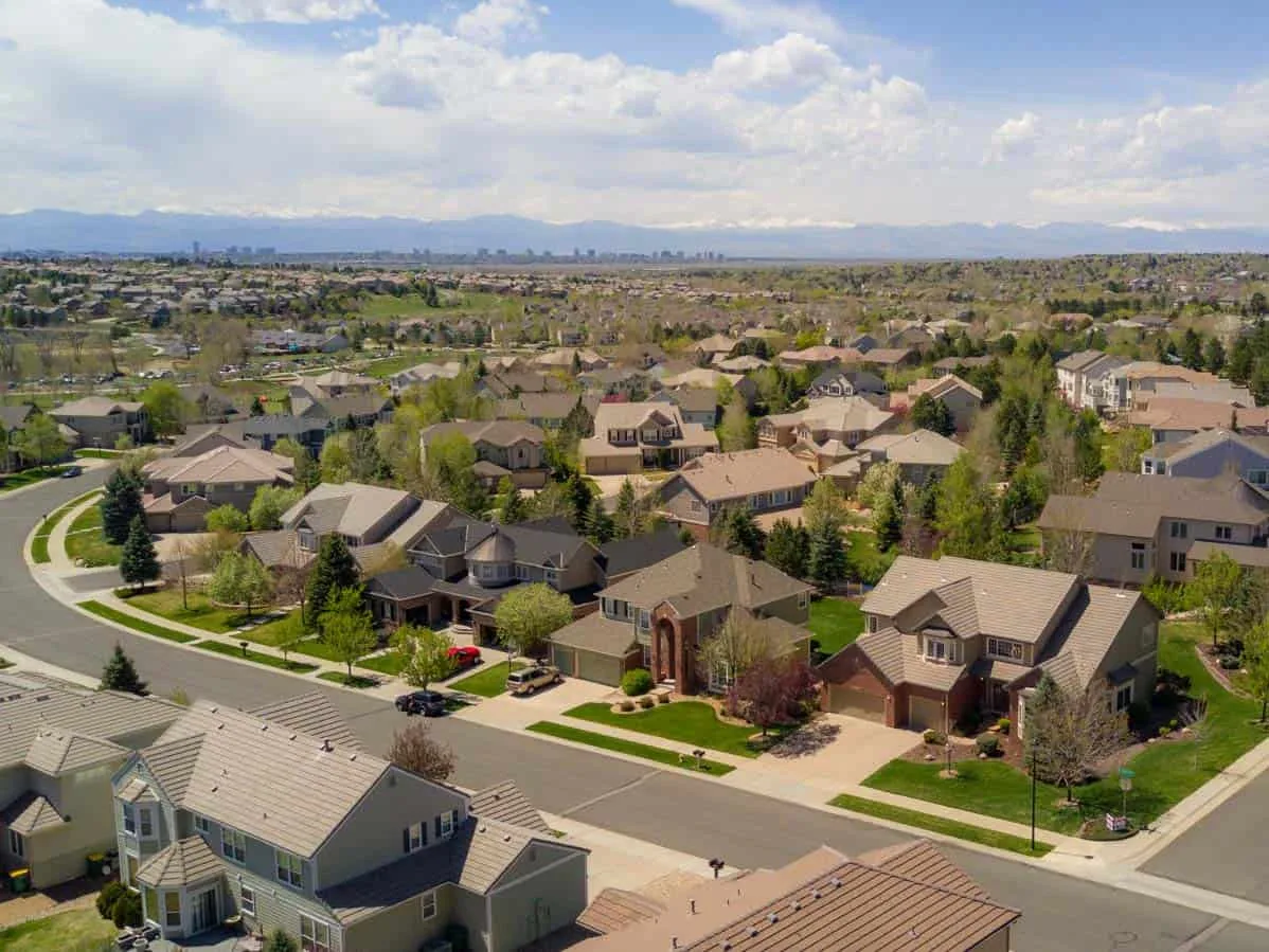
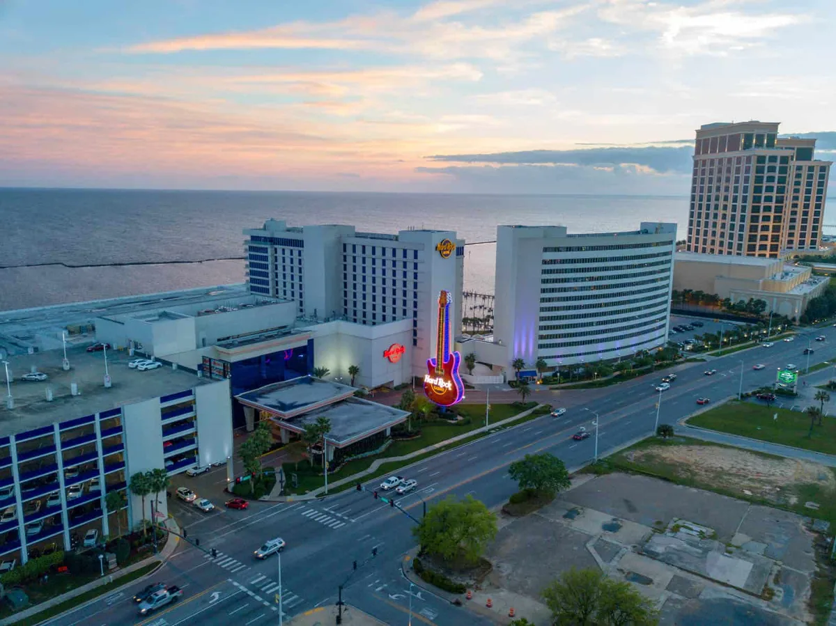
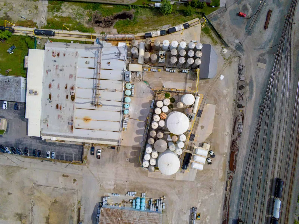
Aerial imagery commissioned around the project
Dronegenuity provides drone photography and related imaging services through an operator network. Based in Hudson, Massachusetts, it serves projects across the United States and lists additional international locations. Its work ranges from marketing photographs to data-rich imagery for sites and structures.
Photography, video and inspections
Property and commercial projects can commission aerial stills and video. Inspection services list rooftops, tanks, towers, solar panels and bridges among their subjects. The required view and level of detail differ between a promotional film and images intended to examine a structure.
A project brief should distinguish the desired deliverable: edited marketing footage, detailed photographs or another agreed imaging product. A gallery of attractive properties shows the style of work, but does not establish the inspection scope or access arrangements for a new site.
Mapping and models
The mapping service describes georeferenced orthomosaics and project updates. Three-dimensional modelling combines multiple images to represent land, buildings or construction work. Examples of uses include visualising a property and calculating stockpile volume or area from an agreed model.
Those outputs differ from a standard aerial photograph. The proposed deliverable and its intended use need to be identified when quoting, rather than assuming that every photo flight includes a survey-grade model or engineering assessment.
Booking and training contacts
Imagery services use 800-214-4820. Drone training has a separate line, 972-895-2060. The contact form asks where services will be performed and whether the enquiry concerns imagery or individual or group training.
The published company correspondence address is 4 Reagan Circle, Hudson, Massachusetts 01749, with info@dronegenuity.com. It is not the meeting point for every assignment. The described service process is to agree the project, schedule a pilot and provide the resulting imagery for download. Site, dates and intended use form the useful starting brief.
Aerial photography and drone-services network for property, construction, inspections, mapping and 3D modelling, with a separate pilot-training contact.
Photos
Select a photo to enlarge it.