California Beaches
An editorial guide to California's coastline, profiling nearly 1,000 beaches with photos, maps, regional breakdowns and articles on activities and camping.
About California Beaches
A guide built around California's 1,264-mile coastline
California Beaches is an editorial website dedicated to documenting the state's shoreline, from the Mexican border north to Del Norte County. Its stated scope is not only the well-known strands but every beach along the coast, including lesser-visited spots. The editors and owners report visiting the beaches themselves to keep the profiles current, and the site already carries close to 1,000 beach profiles, with new ones added as they are found.
Each beach entry is presented with photographs, maps and local information, and readers can locate beaches through an interactive map or by browsing county by county. A search function at the top of the site serves the same purpose for visitors who already know what they are looking for.
Coverage organized by region
The coastline is divided into three broad sections, each broken down by county with a short description of what distinguishes it.
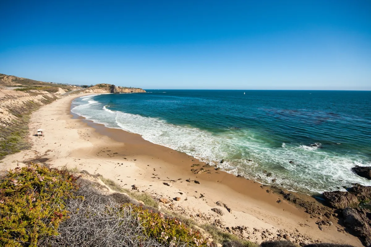
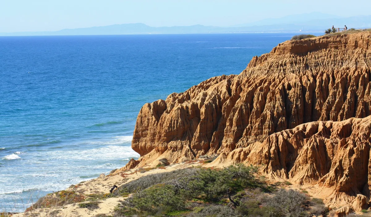
- Southern California: San Diego County, whose coastline runs from the Mexican border to Orange County and contains more than 100 named beaches; Orange County, between San Diego and Los Angeles; Los Angeles County, from Long Beach to Malibu; and Catalina Island, reached by ferry from Long Beach, Dana Point and Los Angeles.
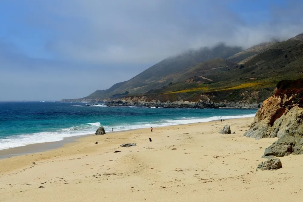
- Central California: Ventura County, at the southern end of the central coast between Malibu and Montecito; Santa Barbara County, with its south-facing coastline known as The American Riviera; San Luis Obispo County, roughly midway between Los Angeles and the Bay Area; Monterey County, combining rugged Big Sur beaches with sandy strands near Carmel and Monterey; and Santa Cruz County, south of the San Francisco Peninsula.
- Northern California: San Mateo County, along the peninsula from Pescadero to Half Moon Bay and Daly City; San Francisco County; Marin County, with beaches on San Francisco Bay, Tomales Bay and Point Reyes National Seashore; Sonoma County, along Highway 1 from Bodega Bay to Jenner and Sea Ranch; Mendocino County, with over 100 miles of Highway 1 driving; Humboldt County, including Trinidad, Ferndale and Shelter Cove; and Del Norte County, the northernmost coastal county, where remote beaches outnumber urban ones.
Articles and themed collections
Beyond individual beach profiles, the site publishes feature articles that group beaches by interest. Among the topics covered are a bucket list of the best beaches in California, whale watching spots in Southern California, beach camping, the most unique beaches, the best hidden beaches, a complete list of nude beaches, the hardest-to-reach beaches, tide pools and dog-friendly beaches.
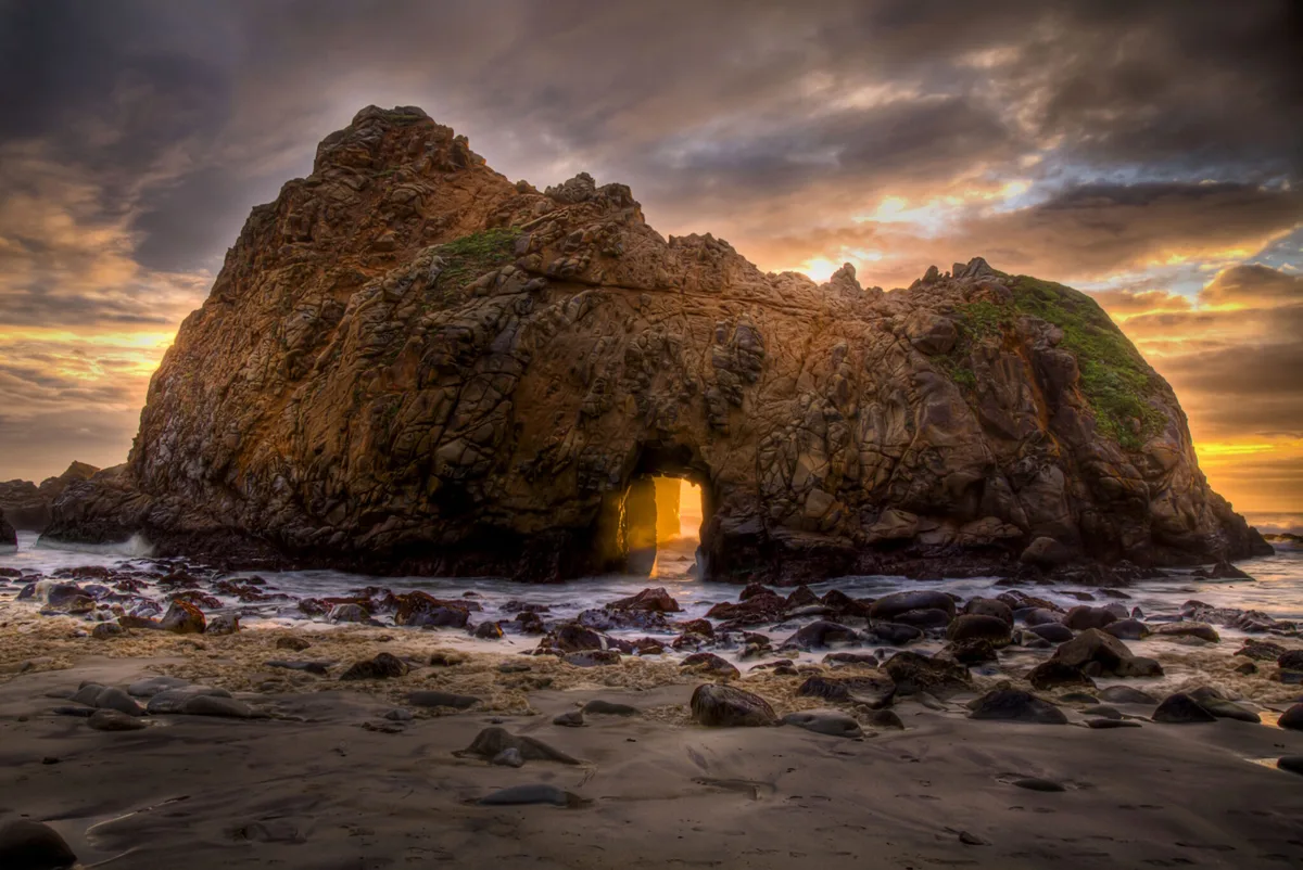
The category index extends further, with sections on hiking and trails, family-friendly outings, scenic drives, trip ideas, vacations, beach news, small towns, parks, bonfires, hotels and resorts, restaurants and food, grunion runs, kayaking and stand-up paddleboarding, surfing, fishing, shopping, weddings and beach houses. The site also points readers toward natural rock arches, historic fishing piers, tide pools and lighthouses as features worth seeking out along the coast.
Community and reader input
Readers can comment at the bottom of each beach page, and the site invites reports of beach accesses it has not yet covered. It also maintains a Facebook following of around 200,000 people and publishes a video illustrating why the editors value California's beaches.
California beach profiles and coastal travel guides
Photos
Select a photo to enlarge it.